-
Sanborn Fire Insurance Map from Vineyard Haven, Dukes County, Massachusetts (1914) - Complete Map Set
Regular price $127.29 USDRegular priceUnit price per$149.75 USDSale price $127.29 USDSale -
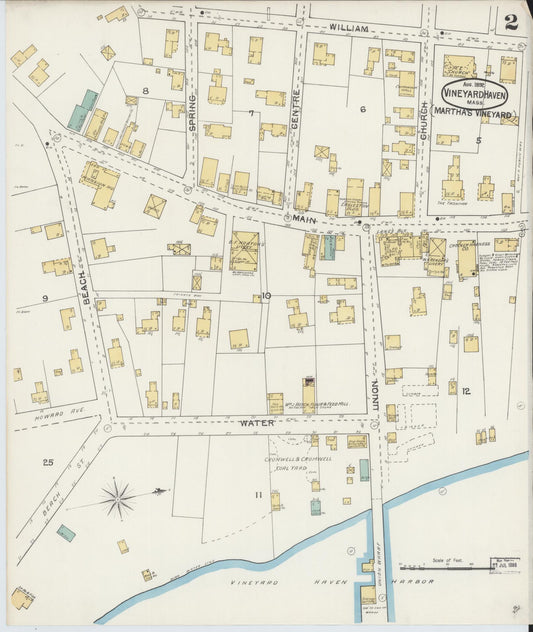
Sanborn Fire Insurance Map from Vineyard Haven, Dukes County, Massachusetts (1898) - Complete Map Set
Regular price $101.83 USDRegular priceUnit price per$119.80 USDSale price $101.83 USDSale -
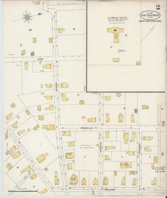
Sanborn Fire Insurance Map from Vineyard Haven, Dukes County, Massachusetts (1892) - Complete Map Set
Regular price $76.37 USDRegular priceUnit price per$89.85 USDSale price $76.37 USDSale -

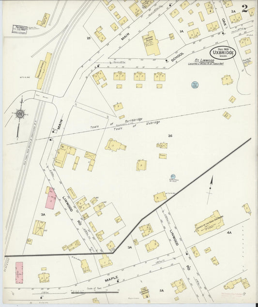
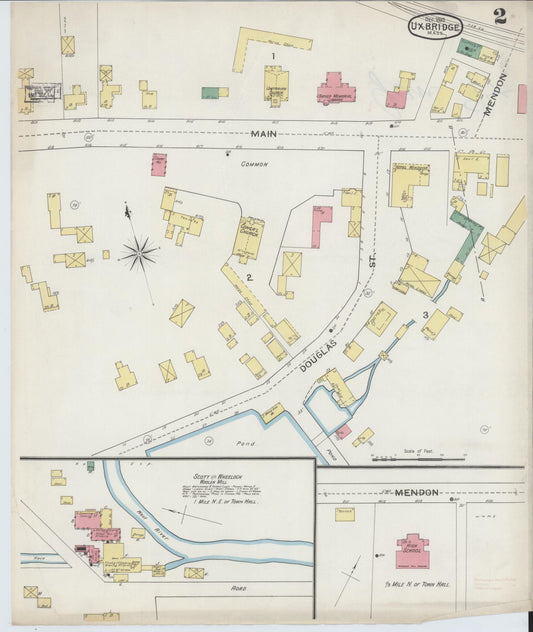
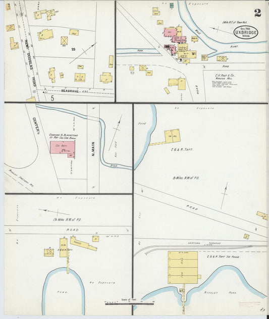
Sanborn Fire Insurance Map from Uxbridge, Worcester County, Massachusetts (1909) - Complete Map Set
Regular price $280.03 USDRegular priceUnit price per$329.45 USDSale price $280.03 USDSale -

Sanborn Fire Insurance Map from Uxbridge, Worcester County, Massachusetts (1903) - Complete Map Set
Regular price $178.20 USDRegular priceUnit price per$209.65 USDSale price $178.20 USDSale -


Sanborn Fire Insurance Map from Uxbridge, Worcester County, Massachusetts (1898) - Complete Map Set
Regular price $127.29 USDRegular priceUnit price per$149.75 USDSale price $127.29 USDSale -
Sanborn Fire Insurance Map from Uxbridge, Worcester County, Massachusetts (1893) - Complete Map Set
Regular price $59.90 USDRegular priceUnit price per$59.90 USDSale price $59.90 USD -

Sanborn Fire Insurance Map from Upton, Worcester County, Massachusetts (1945) - Complete Map Set
Regular price $152.74 USDRegular priceUnit price per$179.70 USDSale price $152.74 USDSale -

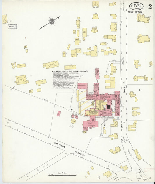
Sanborn Fire Insurance Map from Upton, Worcester County, Massachusetts (1922) - Complete Map Set
Regular price $152.74 USDRegular priceUnit price per$179.70 USDSale price $152.74 USDSale -

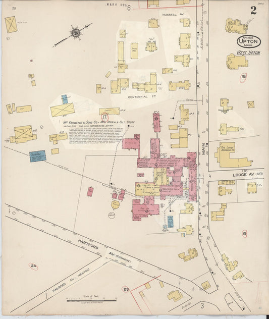
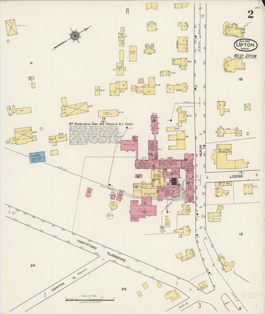
Sanborn Fire Insurance Map from Upton, Worcester County, Massachusetts (1910) - Complete Map Set
Regular price $178.20 USDRegular priceUnit price per$209.65 USDSale price $178.20 USDSale -
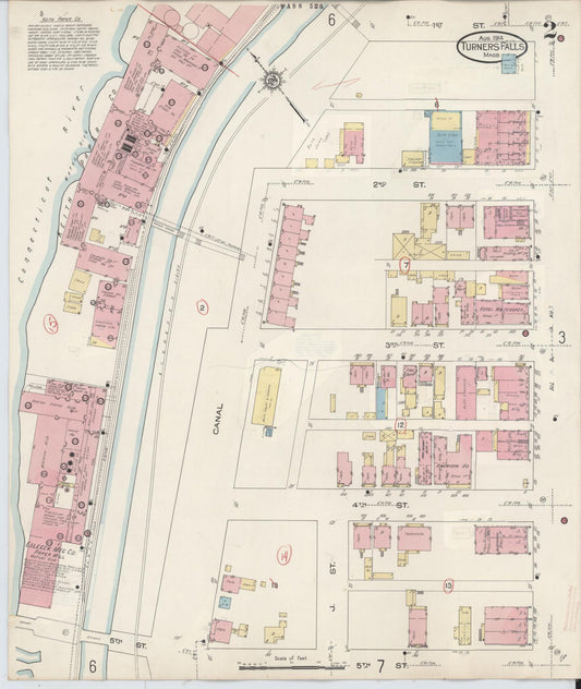
Sanborn Fire Insurance Map from Turners Falls, Franklin County, Massachusetts (1940) - Complete Map Set
Regular price $280.03 USDRegular priceUnit price per$329.45 USDSale price $280.03 USDSale -
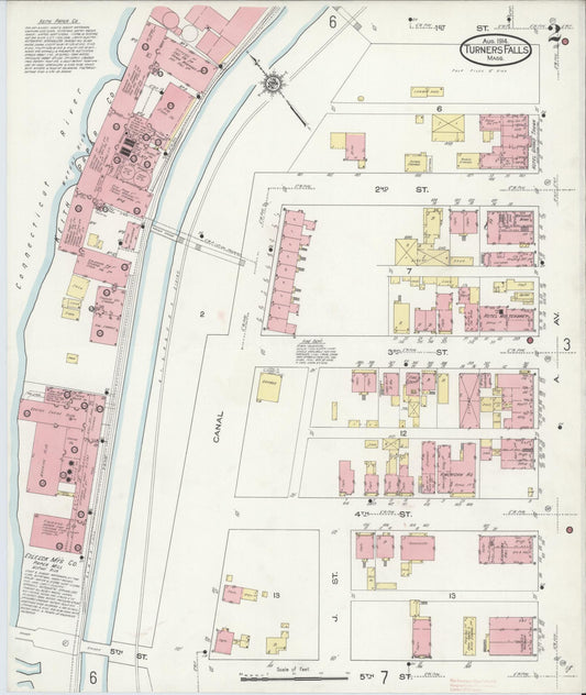
Sanborn Fire Insurance Map from Turners Falls, Franklin County, Massachusetts (1914) - Complete Map Set
Regular price $254.57 USDRegular priceUnit price per$299.50 USDSale price $254.57 USDSale