Collection: Nebraska Map Collection
Explore historic Sanborn Fire Insurance Maps and vintage map prints from towns and cities across Nebraska. These detailed maps from the late 1800s and early 1900s show early main streets, railroad towns, farming communities, and county seats exactly as they appeared more than a century ago. Perfect for wall décor, genealogy research, local history projects, or unique vintage artwork from your Nebraska hometown.
Browse Nebraska by County
Explore historic Sanborn Fire Insurance map prints from all Nebraska counties. Click a county to view available town maps and vintage map reprints.
-
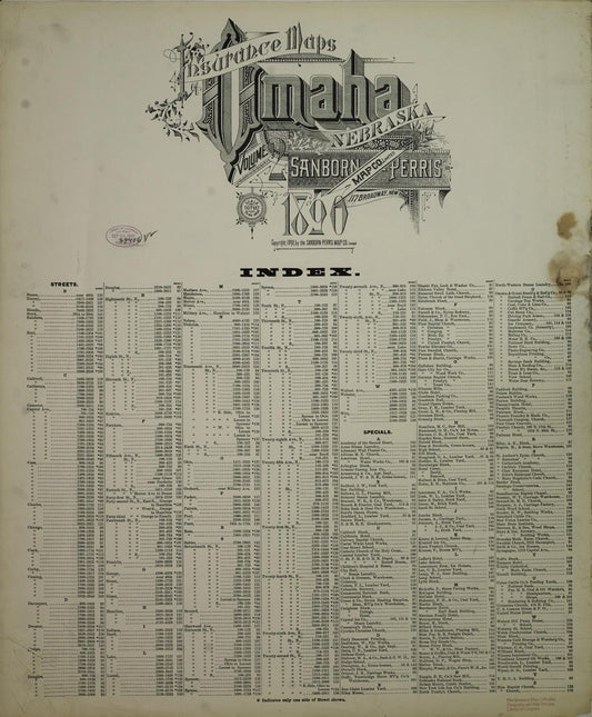
Sanborn Fire Insurance Map from Omaha, Douglas And Sarpy County, Nebraska (1890) - Complete Map Set
Regular price $59.90 USDRegular priceUnit price / per$59.90 USDSale price $59.90 USD -

Sanborn Fire Insurance Map from Oxford, Harlan And Furnas County, Nebraska (1937) - Complete Map Set
Regular price $101.83 USDRegular priceUnit price / per$119.80 USDSale price $101.83 USDSale -

Sanborn Fire Insurance Map from Oxford, Harlan And Furnas County, Nebraska (1909) - Complete Map Set
Regular price $59.90 USDRegular priceUnit price / per$59.90 USDSale price $59.90 USD


