-
Sanborn Fire Insurance Map from Worthington, Franklin County, Ohio (1922) - Complete Map Set
Regular price $127.29 USDRegular priceUnit price per$149.75 USDSale price $127.29 USDSale -
Sanborn Fire Insurance Map from Wooster, Wayne County, Ohio (1923) - Complete Map Set
Regular price $127.29 USDRegular priceUnit price per$149.75 USDSale price $127.29 USDSale -
Sanborn Fire Insurance Map from Wooster, Wayne County, Ohio (1911) - Complete Map Set
Regular price $59.90 USDRegular priceUnit price per$59.90 USDSale price $59.90 USD -
Sanborn Fire Insurance Map from Wooster, Wayne County, Ohio (1898) - Complete Map Set
Regular price $59.90 USDRegular priceUnit price per$59.90 USDSale price $59.90 USD -
Sanborn Fire Insurance Map from Wooster, Wayne County, Ohio (1892) - Complete Map Set
Regular price $101.83 USDRegular priceUnit price per$119.80 USDSale price $101.83 USDSale -
Sanborn Fire Insurance Map from Wooster, Wayne County, Ohio (1888) - Complete Map Set
Regular price $76.37 USDRegular priceUnit price per$89.85 USDSale price $76.37 USDSale -
Sanborn Fire Insurance Map from Woodsfield, Monroe County, Ohio (1949) - Complete Map Set
Regular price $229.12 USDRegular priceUnit price per$269.55 USDSale price $229.12 USDSale -
Sanborn Fire Insurance Map from Woodsfield, Monroe County, Ohio (1923) - Complete Map Set
Regular price $178.20 USDRegular priceUnit price per$209.65 USDSale price $178.20 USDSale -
Sanborn Fire Insurance Map from Woodsfield, Monroe County, Ohio (1911) - Complete Map Set
Regular price $152.74 USDRegular priceUnit price per$179.70 USDSale price $152.74 USDSale -
Sanborn Fire Insurance Map from Woodsfield, Monroe County, Ohio (1905) - Complete Map Set
Regular price $127.29 USDRegular priceUnit price per$149.75 USDSale price $127.29 USDSale -
Sanborn Fire Insurance Map from Woodsfield, Monroe County, Ohio (1899) - Complete Map Set
Regular price $59.90 USDRegular priceUnit price per$59.90 USDSale price $59.90 USD -
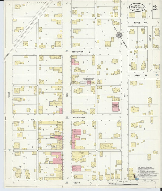
Sanborn Fire Insurance Map from Winchester, Adams County, Ohio (1912) - Complete Map Set
Regular price $76.37 USDRegular priceUnit price per$89.85 USDSale price $76.37 USDSale