-

Sanborn Fire Insurance Map from Vermillion, Clay County, South Dakota (1923) - Complete Map Set
Regular price $280.03 USDRegular priceUnit price per$329.45 USDSale price $280.03 USDSale -


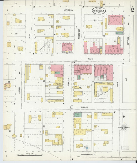
Sanborn Fire Insurance Map from Vermillion, Clay County, South Dakota (1912) - Complete Map Set
Regular price $76.37 USDRegular priceUnit price per$89.85 USDSale price $76.37 USDSale -

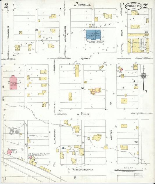
Sanborn Fire Insurance Map from Vermillion, Clay County, South Dakota (1903) - Complete Map Set
Regular price $76.37 USDRegular priceUnit price per$89.85 USDSale price $76.37 USDSale -


Sanborn Fire Insurance Map from Vermillion, Clay County, South Dakota (1898) - Complete Map Set
Regular price $76.37 USDRegular priceUnit price per$89.85 USDSale price $76.37 USDSale -
Sanborn Fire Insurance Map from Vermillion, Clay County, South Dakota (1892) - Complete Map Set
Regular price $59.90 USDRegular priceUnit price per$59.90 USDSale price $59.90 USD -
Sanborn Fire Insurance Map from Tyndall, Bon Homme County, South Dakota (1911) - Complete Map Set
Regular price $59.90 USDRegular priceUnit price per$59.90 USDSale price $59.90 USD -
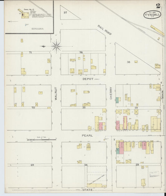
Sanborn Fire Insurance Map from Tyndall, Bon Homme County, South Dakota (1903) - Complete Map Set
Regular price $59.90 USDRegular priceUnit price per$59.90 USDSale price $59.90 USD -
Sanborn Fire Insurance Map from Tyndall, Bon Homme County, South Dakota (1898) - Complete Map Set
Regular price $59.90 USDRegular priceUnit price per$59.90 USDSale price $59.90 USD -
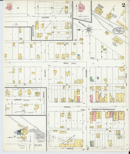
Sanborn Fire Insurance Map from Tyndall, Bon Homme County, South Dakota (1893) - Complete Map Set
Regular price $59.90 USDRegular priceUnit price per$59.90 USDSale price $59.90 USD -
Sanborn Fire Insurance Map from Terry, Lawrence County, South Dakota (1915) - Complete Map Set
Regular price $59.90 USDRegular priceUnit price per$59.90 USDSale price $59.90 USD -
Sanborn Fire Insurance Map from Terry, Lawrence County, South Dakota (1909) - Complete Map Set
Regular price $59.90 USDRegular priceUnit price per$59.90 USDSale price $59.90 USD -
Sanborn Fire Insurance Map from Terry, Lawrence County, South Dakota (1903) - Complete Map Set
Regular price $59.90 USDRegular priceUnit price per$59.90 USDSale price $59.90 USD