-
Panoramic view of the city of Halifax, Nova Scotia 1879. (1879)
Regular price $29.95 USDRegular priceUnit price per$39.95 USDSale price $29.95 USDSale -
Pictorial St. Louis, the great metropolis of the Mississippi valley; a topographical survey drawn in perspective A.D. 1875, (1876)
Regular price $29.95 USDRegular priceUnit price per$39.95 USDSale price $29.95 USDSale -
Map of Winona County, Minnesota. 1867. (1867)
Regular price $29.95 USDRegular priceUnit price per$39.95 USDSale price $29.95 USDSale -
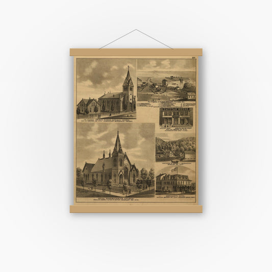
An illustrated historical atlas of the state of Minnesota (1874)
Regular price $29.95 USDRegular priceUnit price per$39.95 USDSale price $29.95 USDSale -
Combination atlas map of Logan county, Ohio, (1875)
Regular price $29.95 USDRegular priceUnit price per$39.95 USDSale price $29.95 USDSale -
Atlas of Athens county, Ohio, to which is added a township map of the state of Ohio, also an outline and railroad map of the United States. (1875)
Regular price $29.95 USDRegular priceUnit price per$39.95 USDSale price $29.95 USDSale -
Perspective map of Tuskaloosa, Ala. county seat of Tuskaloosa, Co. 1887. (1887)
Regular price $29.95 USDRegular priceUnit price per$39.95 USDSale price $29.95 USDSale -
Perspective map of Selma, Ala. county seat of Dallas County 1887. (1887)
Regular price $29.95 USDRegular priceUnit price per$39.95 USDSale price $29.95 USDSale -
Perspective map of Montgomery, State capital of Alabama. (1887)
Regular price $29.95 USDRegular priceUnit price per$39.95 USDSale price $29.95 USDSale -
Bird's eye view of the city of Huntsville, Madison County, Alabama 1871. (1871)
Regular price $29.95 USDRegular priceUnit price per$39.95 USDSale price $29.95 USDSale -
Perspective map of the city of Gadsden, Ala. county seat of Etowah County 1887. (1887)
Regular price $29.95 USDRegular priceUnit price per$39.95 USDSale price $29.95 USDSale -
Business section of the city of Birmingham, Alabama. (1904)
Regular price $29.95 USDRegular priceUnit price per$39.95 USDSale price $29.95 USDSale