-
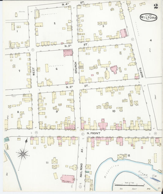
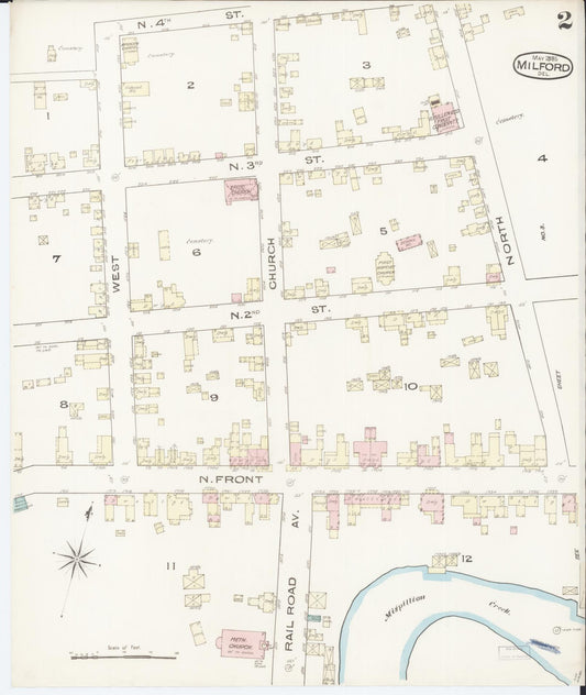
Sanborn Fire Insurance Map from Milford, Kent And Sussex Counties, Delaware (1891) - Complete Map Set
Regular price $152.74 USDRegular priceUnit price per$179.70 USDSale price $152.74 USDSale -
Sanborn Fire Insurance Map from Milford, Kent And Sussex Counties, Delaware (1885) - Complete Map Set
Regular price $101.83 USDRegular priceUnit price per$119.80 USDSale price $101.83 USDSale -

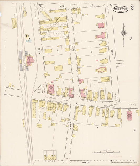
Sanborn Fire Insurance Map from Middletown, New Castle County, Delaware (1922) - Complete Map Set
Regular price $178.20 USDRegular priceUnit price per$209.65 USDSale price $178.20 USDSale -

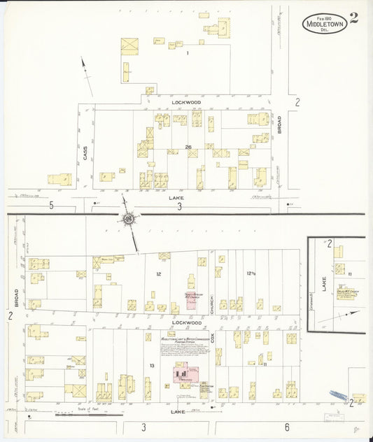
Sanborn Fire Insurance Map from Middletown, New Castle County, Delaware (1910) - Complete Map Set
Regular price $152.74 USDRegular priceUnit price per$179.70 USDSale price $152.74 USDSale -

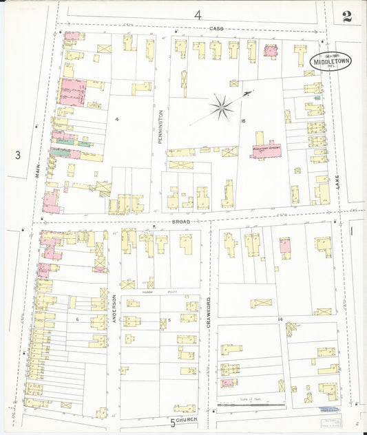
Sanborn Fire Insurance Map from Middletown, New Castle County, Delaware (1904) - Complete Map Set
Regular price $127.29 USDRegular priceUnit price per$149.75 USDSale price $127.29 USDSale -


Sanborn Fire Insurance Map from Middletown, New Castle County, Delaware (1891) - Complete Map Set
Regular price $76.37 USDRegular priceUnit price per$89.85 USDSale price $76.37 USDSale -
Sanborn Fire Insurance Map from Middletown, New Castle County, Delaware (1884) - Complete Map Set
Regular price $59.90 USDRegular priceUnit price per$59.90 USDSale price $59.90 USD -
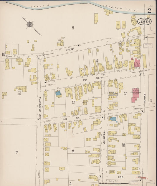
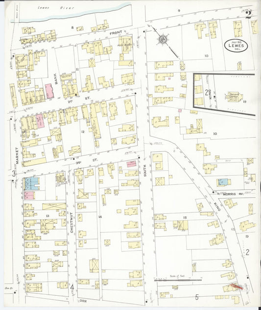
Sanborn Fire Insurance Map from Lewes, Sussex County, Delaware (1922) - Complete Map Set
Regular price $432.78 USDRegular priceUnit price per$509.15 USDSale price $432.78 USDSale -
Sanborn Fire Insurance Map from Lewes, Sussex County, Delaware (1910) - Complete Map Set
Regular price $229.12 USDRegular priceUnit price per$269.55 USDSale price $229.12 USDSale -
Sanborn Fire Insurance Map from Lewes, Sussex County, Delaware (1904) - Complete Map Set
Regular price $101.83 USDRegular priceUnit price per$119.80 USDSale price $101.83 USDSale -
Sanborn Fire Insurance Map from Lewes, Sussex County, Delaware (1897) - Complete Map Set
Regular price $76.37 USDRegular priceUnit price per$89.85 USDSale price $76.37 USDSale -
Sanborn Fire Insurance Map from Lewes, Sussex County, Delaware (1891) - Complete Map Set
Regular price $76.37 USDRegular priceUnit price per$89.85 USDSale price $76.37 USDSale