-
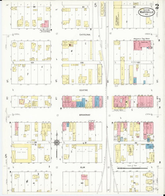
Sanborn Fire Insurance Map from Marysville, Marshall County, Kansas (1911) - Complete Map Set
Regular price $127.29 USDRegular priceUnit price per$149.75 USDSale price $127.29 USDSale -
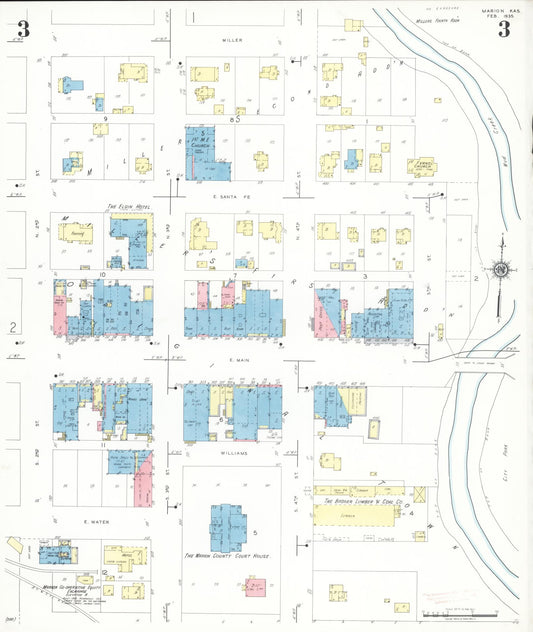
Sanborn Fire Insurance Map from Marion, Marion County, Kansas (1935) - Complete Map Set
Regular price $127.29 USDRegular priceUnit price per$149.75 USDSale price $127.29 USDSale -
Sanborn Fire Insurance Map from Marion, Marion County, Kansas (1922) - Complete Map Set
Regular price $127.29 USDRegular priceUnit price per$149.75 USDSale price $127.29 USDSale -
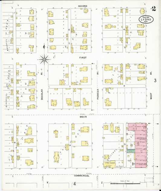
Sanborn Fire Insurance Map from Lyons, Rice County, Kansas (1905) - Complete Map Set
Regular price $127.29 USDRegular priceUnit price per$149.75 USDSale price $127.29 USDSale -
Sanborn Fire Insurance Map from Lyons, Rice County, Kansas (1899) - Complete Map Set
Regular price $127.29 USDRegular priceUnit price per$149.75 USDSale price $127.29 USDSale -
Sanborn Fire Insurance Map from Lincoln, Lincoln County, Kansas (1918) - Complete Map Set
Regular price $127.29 USDRegular priceUnit price per$149.75 USDSale price $127.29 USDSale -
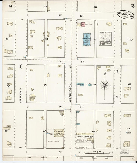
Sanborn Fire Insurance Map from Wellington, Sumner County, Kansas (1884) - Complete Map Set
Regular price $127.29 USDRegular priceUnit price per$149.75 USDSale price $127.29 USDSale -
Sanborn Fire Insurance Map from Weir, Cherokee County, Kansas (1896) - Complete Map Set
Regular price $127.29 USDRegular priceUnit price per$149.75 USDSale price $127.29 USDSale -


Sanborn Fire Insurance Map from Washington, Washington County, Kansas (1911) - Complete Map Set
Regular price $127.29 USDRegular priceUnit price per$149.75 USDSale price $127.29 USDSale -
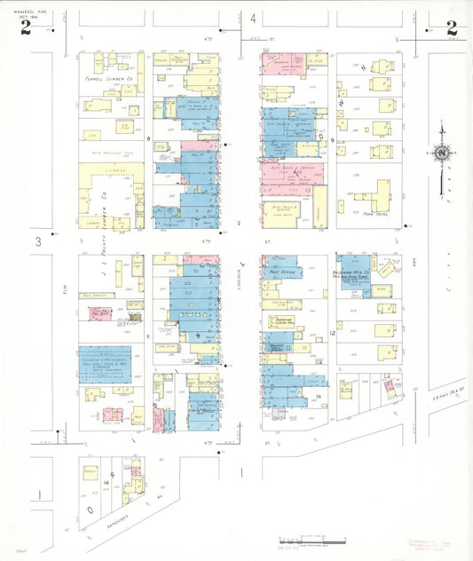
Sanborn Fire Insurance Map from Wamego, Pottawatomie County, Kansas (1941) - Complete Map Set
Regular price $127.29 USDRegular priceUnit price per$149.75 USDSale price $127.29 USDSale -
Sanborn Fire Insurance Map from Troy, Doniphan County, Kansas (1922) - Complete Map Set
Regular price $127.29 USDRegular priceUnit price per$149.75 USDSale price $127.29 USDSale -
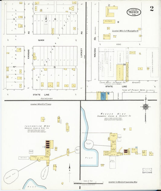
Sanborn Fire Insurance Map from Treece, Cherokee County, Kansas (1918) - Complete Map Set
Regular price $127.29 USDRegular priceUnit price per$149.75 USDSale price $127.29 USDSale