-
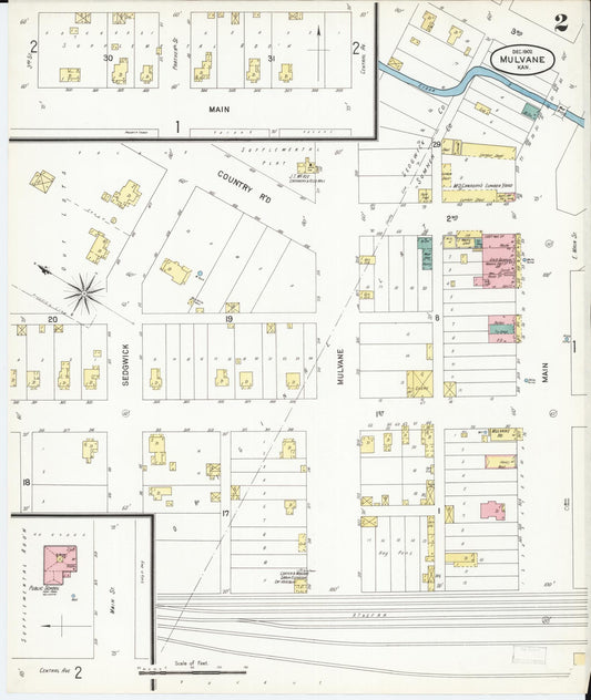
Sanborn Fire Insurance Map from Mulvane, Sumner and Sedgwick Counties, Kansas (1902) - Complete Map Set
Regular price $59.90 USDRegular priceUnit price per$59.90 USDSale price $59.90 USD -
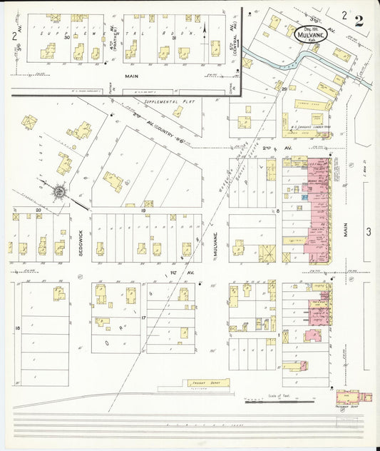
Sanborn Fire Insurance Map from Mulvane, Sumner and Sedgwick Counties, Kansas (1911) - Complete Map Set
Regular price $76.37 USDRegular priceUnit price per$89.85 USDSale price $76.37 USDSale -

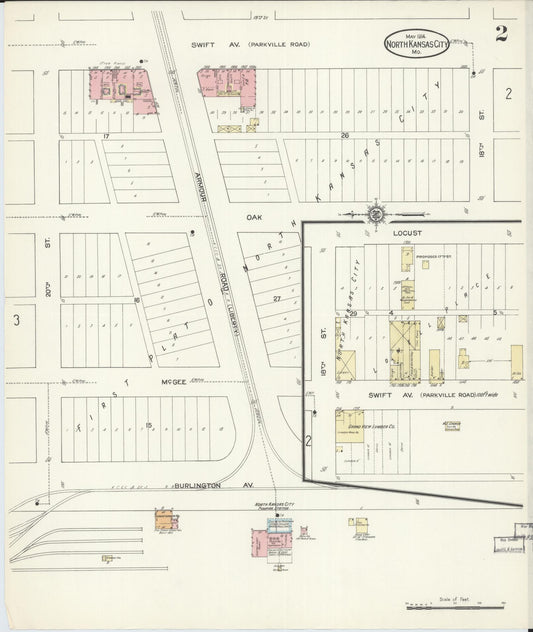
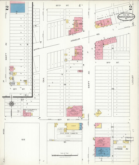
Sanborn Fire Insurance Map from North Kansas City, Clay County, Missouri (1914) - Complete Map Set
Regular price $127.29 USDRegular priceUnit price per$149.75 USDSale price $127.29 USDSale -

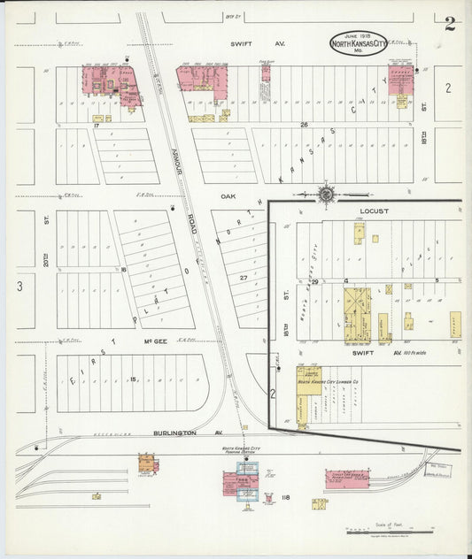
Sanborn Fire Insurance Map from North Kansas City, Clay County, Missouri (1918) - Complete Map Set
Regular price $203.66 USDRegular priceUnit price per$239.60 USDSale price $203.66 USDSale -

Sanborn Fire Insurance Map from North Kansas City, Clay County, Missouri (1926) - Complete Map Set
Regular price $381.86 USDRegular priceUnit price per$449.25 USDSale price $381.86 USDSale -
Sanborn Fire Insurance Map from South Haven, Sumner County, Kansas (1926) - Complete Map Set
Regular price $59.90 USDRegular priceUnit price per$59.90 USDSale price $59.90 USD -
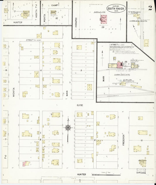
Sanborn Fire Insurance Map from South Haven, Sumner County, Kansas (1912) - Complete Map Set
Regular price $59.90 USDRegular priceUnit price per$59.90 USDSale price $59.90 USD -
Sanborn Fire Insurance Map from Scott City, Scott County, Kansas (1926) - Complete Map Set
Regular price $59.90 USDRegular priceUnit price per$59.90 USDSale price $59.90 USD -
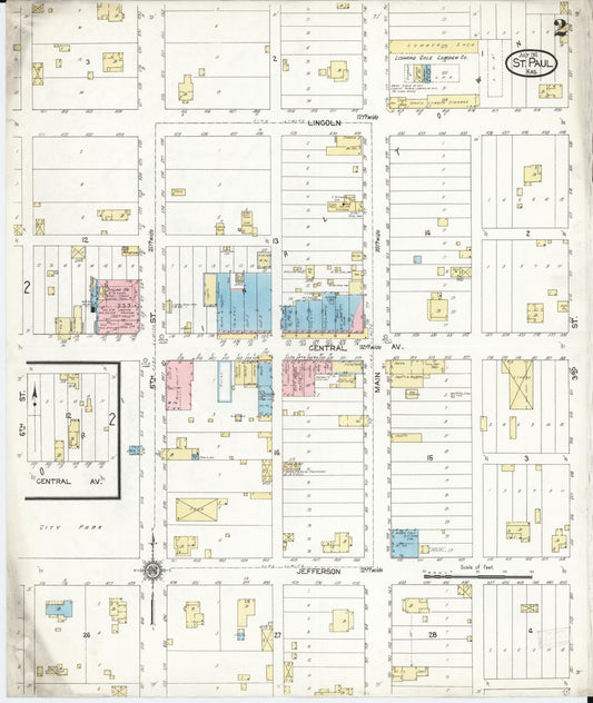
Sanborn Fire Insurance Map from Saint Paul, Neosho County, Kansas (1912) - Complete Map Set
Regular price $59.90 USDRegular priceUnit price per$59.90 USDSale price $59.90 USD -
Sanborn Fire Insurance Map from Saint Paul, Neosho County, Kansas (1906) - Complete Map Set
Regular price $59.90 USDRegular priceUnit price per$59.90 USDSale price $59.90 USD -
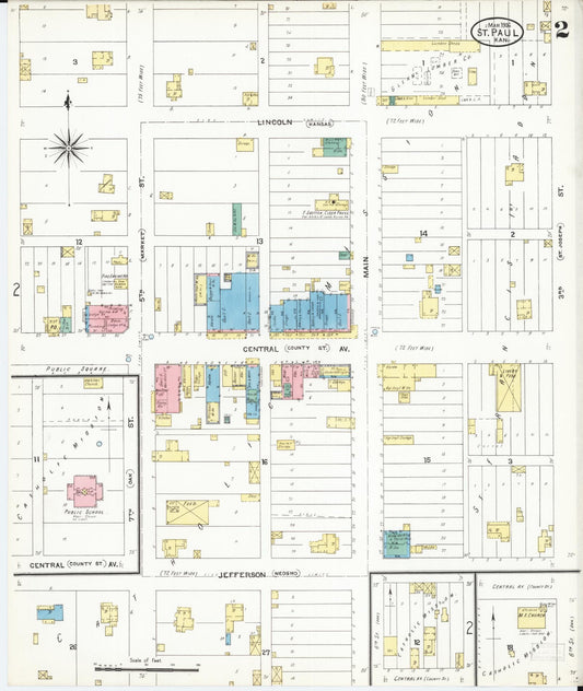
Sanborn Fire Insurance Map from Saint Paul, Neosho County, Kansas (1899) - Complete Map Set
Regular price $59.90 USDRegular priceUnit price per$59.90 USDSale price $59.90 USD -
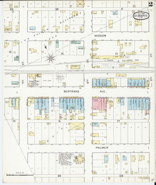
Sanborn Fire Insurance Map from Saint Marys, Pottawatomie County, Kansas (1893) - Complete Map Set
Regular price $59.90 USDRegular priceUnit price per$59.90 USDSale price $59.90 USD