-
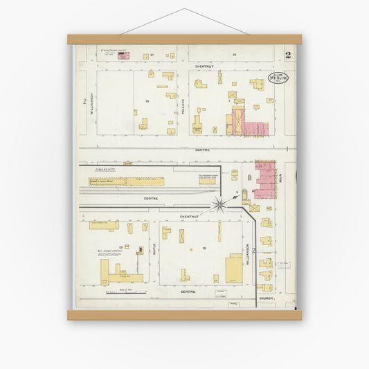
Sanborn Fire Insurance Map from Mount Olive, Wayne County, North Carolina (1905), Sheet #0002
Regular price $29.95 USDRegular priceUnit price per$39.95 USDSale price $29.95 USDSale -
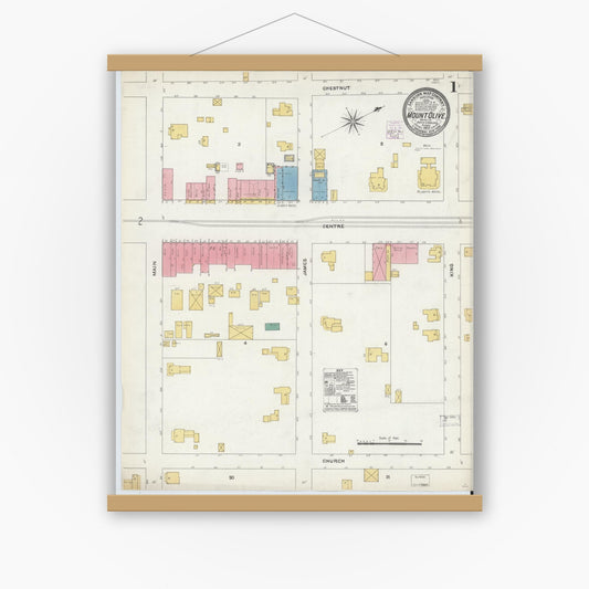
Sanborn Fire Insurance Map from Mount Olive, Wayne County, North Carolina (1905), Sheet #0001
Regular price $29.95 USDRegular priceUnit price per$39.95 USDSale price $29.95 USDSale -
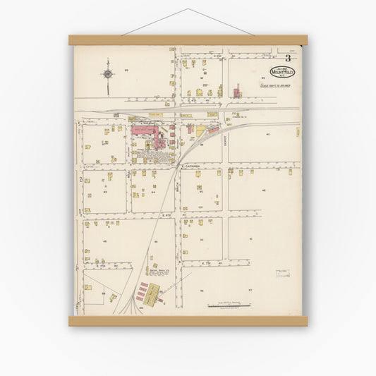
Sanborn Fire Insurance Map from Mount Holly, Gaston County, North Carolina (1922), Sheet #0003
Regular price $29.95 USDRegular priceUnit price per$39.95 USDSale price $29.95 USDSale -
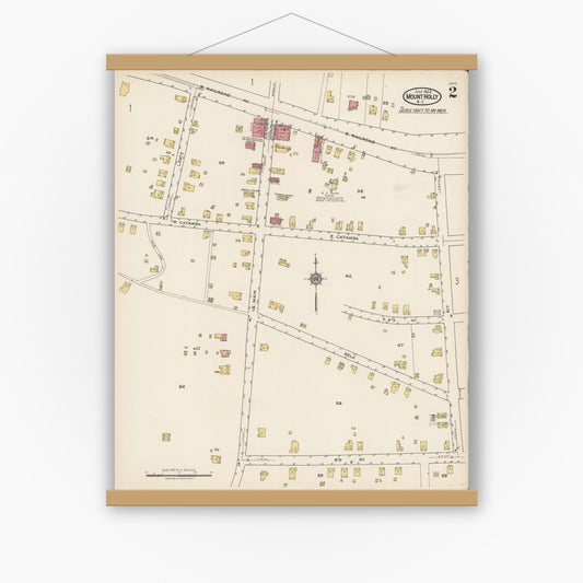
Sanborn Fire Insurance Map from Mount Holly, Gaston County, North Carolina (1922), Sheet #0002
Regular price $29.95 USDRegular priceUnit price per$39.95 USDSale price $29.95 USDSale -
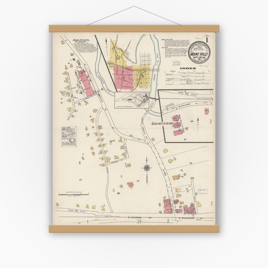
Sanborn Fire Insurance Map from Mount Holly, Gaston County, North Carolina (1922), Sheet #0001
Regular price $29.95 USDRegular priceUnit price per$39.95 USDSale price $29.95 USDSale -
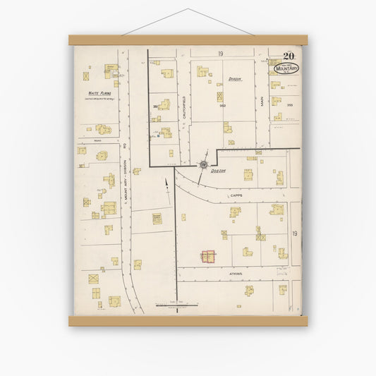
Sanborn Fire Insurance Map from Mount Airy, Surry County, North Carolina (1922), Sheet #0020
Regular price $29.95 USDRegular priceUnit price per$39.95 USDSale price $29.95 USDSale -
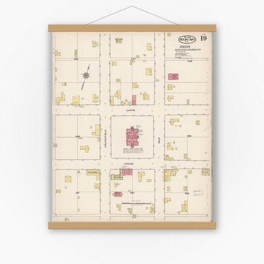
Sanborn Fire Insurance Map from Mount Airy, Surry County, North Carolina (1922), Sheet #0019
Regular price $29.95 USDRegular priceUnit price per$39.95 USDSale price $29.95 USDSale -
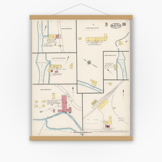
Sanborn Fire Insurance Map from Mount Airy, Surry County, North Carolina (1922), Sheet #0018
Regular price $29.95 USDRegular priceUnit price per$39.95 USDSale price $29.95 USDSale -
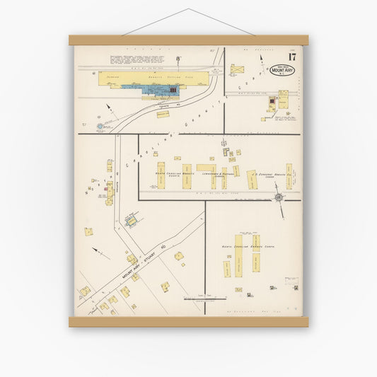
Sanborn Fire Insurance Map from Mount Airy, Surry County, North Carolina (1922), Sheet #0017
Regular price $29.95 USDRegular priceUnit price per$39.95 USDSale price $29.95 USDSale -
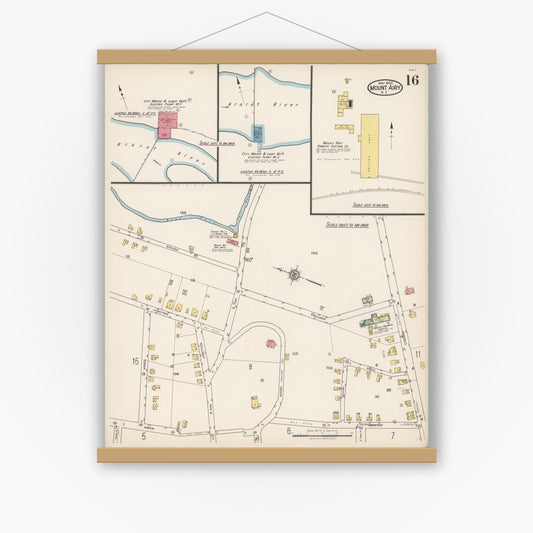
Sanborn Fire Insurance Map from Mount Airy, Surry County, North Carolina (1922), Sheet #0016
Regular price $29.95 USDRegular priceUnit price per$39.95 USDSale price $29.95 USDSale -
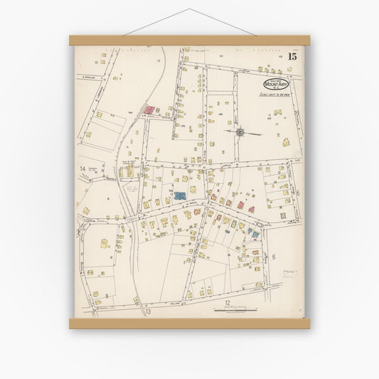
Sanborn Fire Insurance Map from Mount Airy, Surry County, North Carolina (1922), Sheet #0015
Regular price $29.95 USDRegular priceUnit price per$39.95 USDSale price $29.95 USDSale -
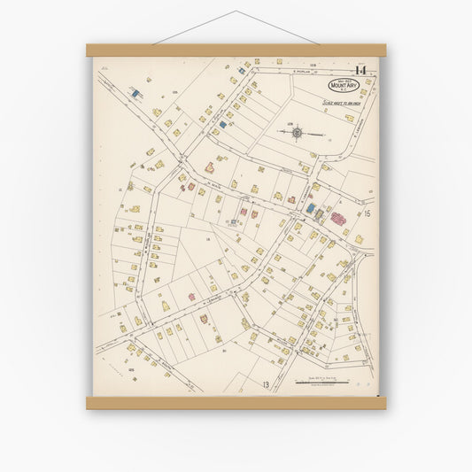
Sanborn Fire Insurance Map from Mount Airy, Surry County, North Carolina (1922), Sheet #0014
Regular price $29.95 USDRegular priceUnit price per$39.95 USDSale price $29.95 USDSale