-
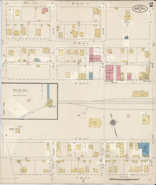
Sanborn Fire Insurance Map from Gold Hill, Jackson County, Oregon (1930) - Complete Map Set
Regular price $76.37 USDRegular priceUnit price per$89.85 USDSale price $76.37 USDSale -
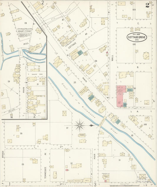
Sanborn Fire Insurance Map from Cottage Grove, Lane County, Oregon (1898) - Complete Map Set
Regular price $76.37 USDRegular priceUnit price per$89.85 USDSale price $76.37 USDSale -
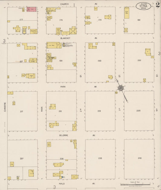
Sanborn Fire Insurance Map from Saint Paul, Marion County, Oregon (1922) - Complete Map Set
Regular price $76.37 USDRegular priceUnit price per$89.85 USDSale price $76.37 USDSale -
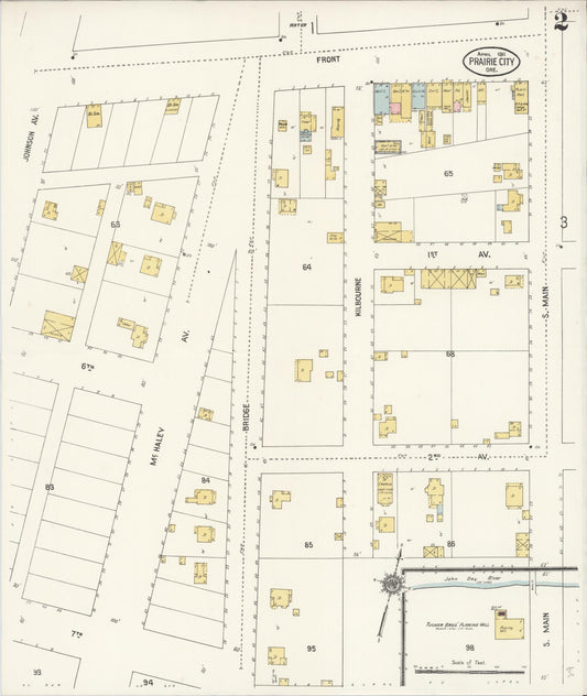
Sanborn Fire Insurance Map from Prairie City, Grant County, Oregon (1911) - Complete Map Set
Regular price $76.37 USDRegular priceUnit price per$89.85 USDSale price $76.37 USDSale -
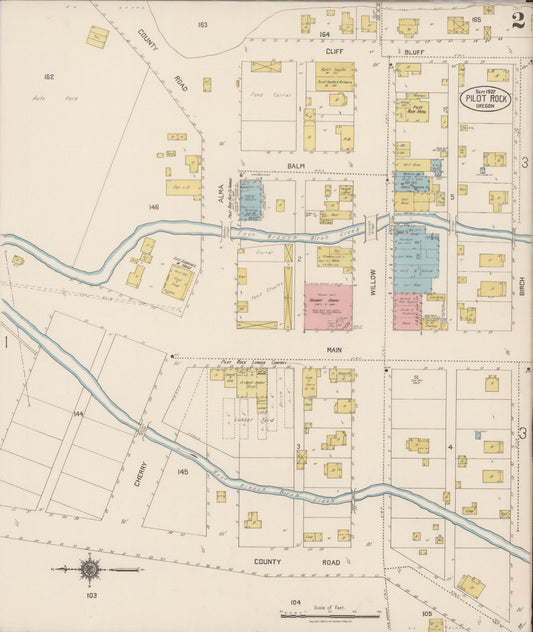
Sanborn Fire Insurance Map from Pilot Rock, Umatilla County, Oregon (1922) - Complete Map Set
Regular price $76.37 USDRegular priceUnit price per$89.85 USDSale price $76.37 USDSale -


Sanborn Fire Insurance Map from North Plains, Washington County, Oregon (1921) - Complete Map Set
Regular price $76.37 USDRegular priceUnit price per$89.85 USDSale price $76.37 USDSale -
Sanborn Fire Insurance Map from North Bend, Coos County, Oregon (1903) - Complete Map Set
Regular price $76.37 USDRegular priceUnit price per$89.85 USDSale price $76.37 USDSale -
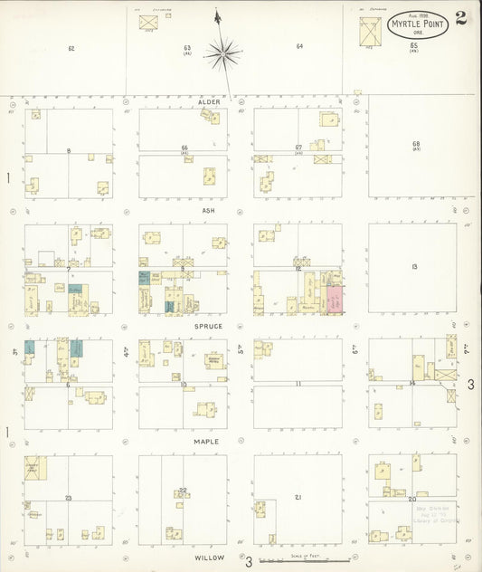
Sanborn Fire Insurance Map from Myrtle Point, Coos County, Oregon (1898) - Complete Map Set
Regular price $76.37 USDRegular priceUnit price per$89.85 USDSale price $76.37 USDSale -


Sanborn Fire Insurance Map from Klamath Falls, Klamath County, Oregon (1898) - Complete Map Set
Regular price $76.37 USDRegular priceUnit price per$89.85 USDSale price $76.37 USDSale -
Sanborn Fire Insurance Map from Gold Hill, Jackson County, Oregon (1920) - Complete Map Set
Regular price $76.37 USDRegular priceUnit price per$89.85 USDSale price $76.37 USDSale -

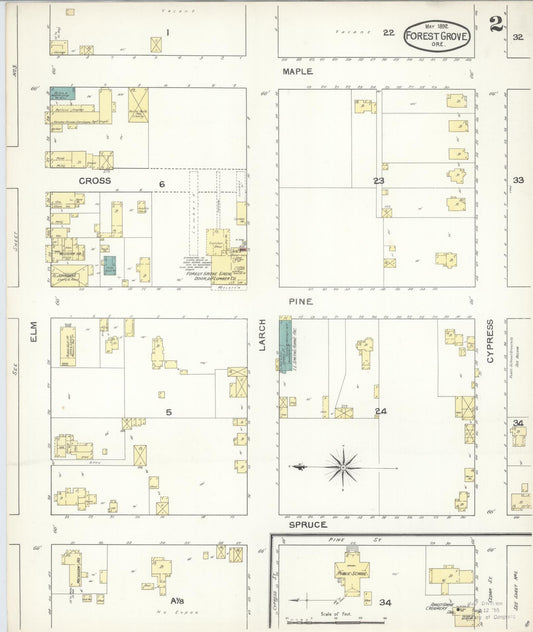
Sanborn Fire Insurance Map from Forest Grove, Washington County, Oregon (1892) - Complete Map Set
Regular price $76.37 USDRegular priceUnit price per$89.85 USDSale price $76.37 USDSale -
Sanborn Fire Insurance Map from The Dalles, Wasco County, Oregon (1884) - Complete Map Set
Regular price $76.37 USDRegular priceUnit price per$89.85 USDSale price $76.37 USDSale