Collection: Virginia Map Collection
Explore historic Sanborn Fire Insurance Maps and vintage map prints from towns and cities across Virginia. These detailed fire-insurance maps from the late 1800s and early 1900s document coastal port cities, railroad hubs, Civil War-era towns, industrial districts, and early neighborhoods exactly as they appeared over a century ago. Perfect for wall décor, genealogy research, classroom displays, Virginia history collections, or meaningful vintage artwork from your own Virginia hometown.
Browse Virginia by County
Explore historic Sanborn Fire Insurance map prints from all Virginia counties. Click a county to view available town maps and vintage map reprints.
-
Sanborn Fire Insurance Map from Dayton, Rockingham County, Virginia (1917) - Complete Map Set
Regular price $59.90 USDRegular priceUnit price / per$59.90 USDSale price $59.90 USD -
Sanborn Fire Insurance Map from Edinburg, Shenandoah County, Virginia (1908) - Complete Map Set
Regular price $59.90 USDRegular priceUnit price / per$59.90 USDSale price $59.90 USD -
Sanborn Fire Insurance Map from Edinburg, Shenandoah County, Virginia (1915) - Complete Map Set
Regular price $59.90 USDRegular priceUnit price / per$59.90 USDSale price $59.90 USD -
Sanborn Fire Insurance Map from Emporia, Independent Cities, Virginia (1902) - Complete Map Set
Regular price $59.90 USDRegular priceUnit price / per$59.90 USDSale price $59.90 USD -
Sanborn Fire Insurance Map from Franklin, Independent Cities, Virginia (1891) - Complete Map Set
Regular price $59.90 USDRegular priceUnit price / per$59.90 USDSale price $59.90 USD -
Sanborn Fire Insurance Map from Norfolk, Independent Cities, Virginia (1907) - Complete Map Set
Regular price $59.90 USDRegular priceUnit price / per$59.90 USDSale price $59.90 USD -
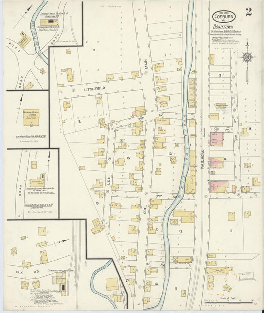
Sanborn Fire Insurance Map from Coeburn, Wise County, Virginia (1913) - Complete Map Set
Regular price $59.90 USDRegular priceUnit price / per$59.90 USDSale price $59.90 USD


