-
Sanborn Fire Insurance Map from Adairville, Logan County, Kentucky (1898), Sheet #0001
Regular price $29.95 USDRegular priceUnit price per$39.95 USDSale price $29.95 USDSale -
Sanborn Fire Insurance Map from Adairville, Logan County, Kentucky (1893), Sheet #0001
Regular price $29.95 USDRegular priceUnit price per$39.95 USDSale price $29.95 USDSale -
Bird's eye view of the city of Paris, Bourbon County, Kentucky 1870. (1870)
Regular price $29.95 USDRegular priceUnit price per$39.95 USDSale price $29.95 USDSale -
Birds-eye view of Louisville from the river front and Southern Exposition, 1883. (1883)
Regular price $29.95 USDRegular priceUnit price per$39.95 USDSale price $29.95 USDSale -
Bird's eye view of the city of Lexington, Fayette County, Kentucky 1871. (1871)
Regular price $29.95 USDRegular priceUnit price per$39.95 USDSale price $29.95 USDSale -
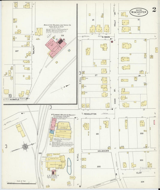
Sanborn Fire Insurance Map from Winchester, Clark County, Kentucky (1912) - Complete Map Set
Regular price $610.98 USDRegular priceUnit price per$718.80 USDSale price $610.98 USDSale -
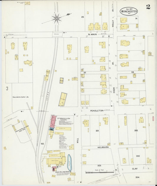
Sanborn Fire Insurance Map from Winchester, Clark County, Kentucky (1907) - Complete Map Set
Regular price $483.69 USDRegular priceUnit price per$569.05 USDSale price $483.69 USDSale -
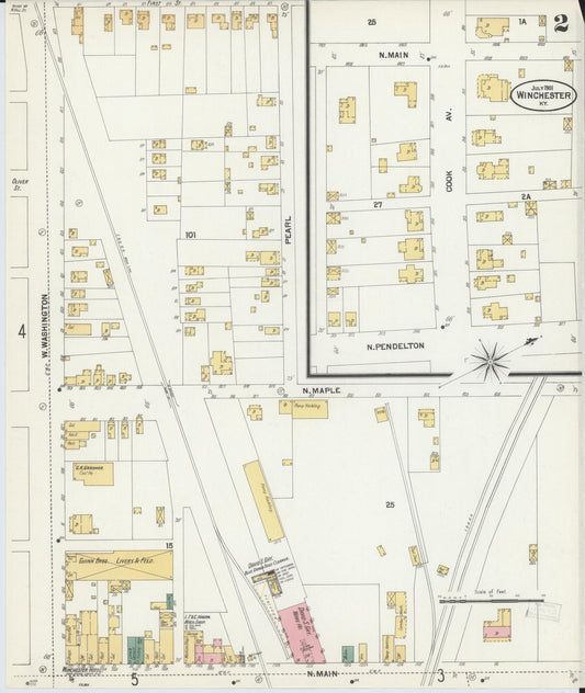
Sanborn Fire Insurance Map from Winchester, Clark County, Kentucky (1901) - Complete Map Set
Regular price $305.49 USDRegular priceUnit price per$359.40 USDSale price $305.49 USDSale -
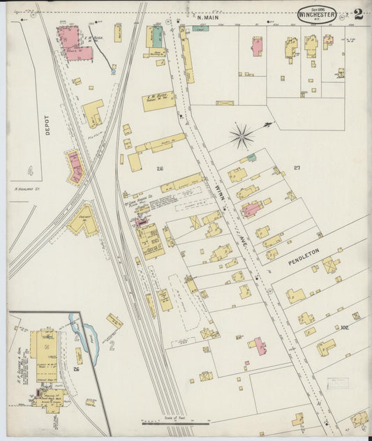
Sanborn Fire Insurance Map from Winchester, Clark County, Kentucky (1895) - Complete Map Set
Regular price $254.57 USDRegular priceUnit price per$299.50 USDSale price $254.57 USDSale -
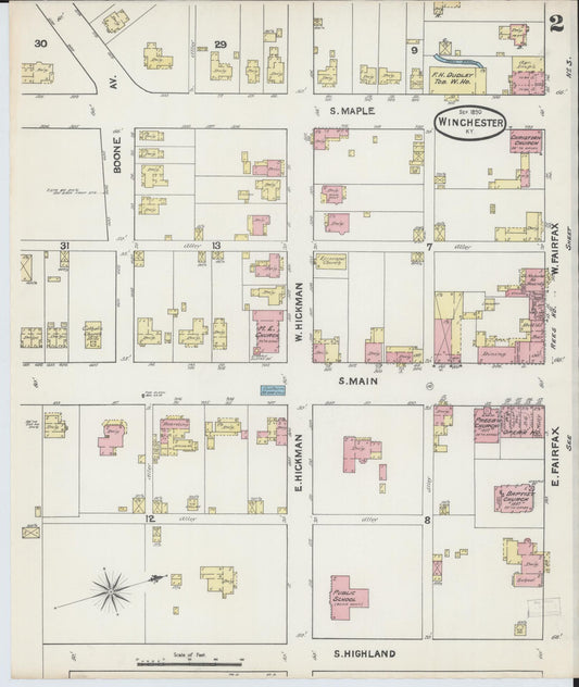
Sanborn Fire Insurance Map from Winchester, Clark County, Kentucky (1890) - Complete Map Set
Regular price $152.74 USDRegular priceUnit price per$179.70 USDSale price $152.74 USDSale -
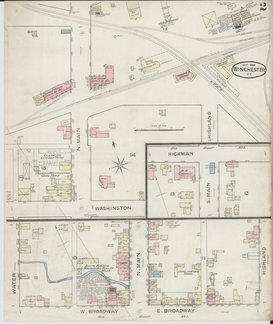
Sanborn Fire Insurance Map from Winchester, Clark County, Kentucky (1886) - Complete Map Set
Regular price $59.90 USDRegular priceUnit price per$59.90 USDSale price $59.90 USD -
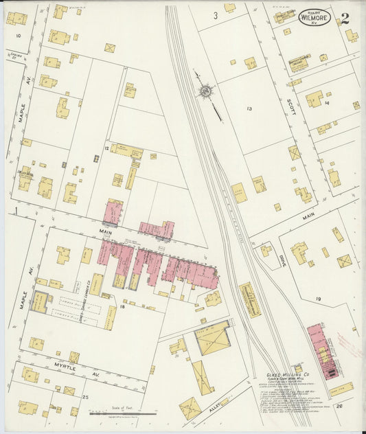
Sanborn Fire Insurance Map from Wilmore, Jessamine County, Kentucky (1919) - Complete Map Set
Regular price $76.37 USDRegular priceUnit price per$89.85 USDSale price $76.37 USDSale