-


Sanborn Fire Insurance Map from Elizabethtown, Hardin County, Kentucky (1901) - Complete Map Set
Regular price $101.83 USDRegular priceUnit price per$119.80 USDSale price $101.83 USDSale -


Sanborn Fire Insurance Map from Elizabethtown, Hardin County, Kentucky (1896) - Complete Map Set
Regular price $101.83 USDRegular priceUnit price per$119.80 USDSale price $101.83 USDSale -


Sanborn Fire Insurance Map from Elizabethtown, Hardin County, Kentucky (1891) - Complete Map Set
Regular price $76.37 USDRegular priceUnit price per$89.85 USDSale price $76.37 USDSale -
Sanborn Fire Insurance Map from Elizabethtown, Hardin County, Kentucky (1886) - Complete Map Set
Regular price $59.90 USDRegular priceUnit price per$59.90 USDSale price $59.90 USD -
Sanborn Fire Insurance Map from Eddyville, Lyon County, Kentucky (1910) - Complete Map Set
Regular price $76.37 USDRegular priceUnit price per$89.85 USDSale price $76.37 USDSale -
Sanborn Fire Insurance Map from Eddyville, Lyon County, Kentucky (1905) - Complete Map Set
Regular price $59.90 USDRegular priceUnit price per$59.90 USDSale price $59.90 USD -
Sanborn Fire Insurance Map from Earlington, Hopkins County, Kentucky (1909) - Complete Map Set
Regular price $127.29 USDRegular priceUnit price per$149.75 USDSale price $127.29 USDSale -
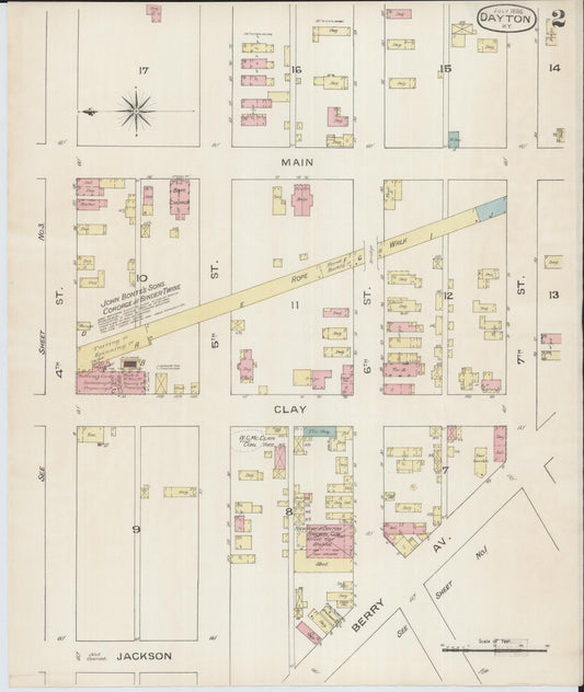
Sanborn Fire Insurance Map from Dayton, Campbell County, Kentucky (1886) - Complete Map Set
Regular price $101.83 USDRegular priceUnit price per$119.80 USDSale price $101.83 USDSale -


Sanborn Fire Insurance Map from Dawson Springs, Hopkins County, Kentucky (1909) - Complete Map Set
Regular price $101.83 USDRegular priceUnit price per$119.80 USDSale price $101.83 USDSale -
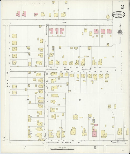
Sanborn Fire Insurance Map from Danville, Boyle County, Kentucky (1914) - Complete Map Set
Regular price $636.44 USDRegular priceUnit price per$748.75 USDSale price $636.44 USDSale -
Sanborn Fire Insurance Map from Danville, Boyle County, Kentucky (1908) - Complete Map Set
Regular price $509.15 USDRegular priceUnit price per$599.00 USDSale price $509.15 USDSale -
Sanborn Fire Insurance Map from Danville, Boyle County, Kentucky (1901) - Complete Map Set
Regular price $280.03 USDRegular priceUnit price per$329.45 USDSale price $280.03 USDSale