-

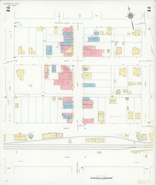
Sanborn Fire Insurance Map from Mendenhall, Simpson County, Mississippi (1940) - Complete Map Set
Regular price $101.83 USDRegular priceUnit price per$119.80 USDSale price $101.83 USDSale -
Sanborn Fire Insurance Map from Wilson, Mississippi County, Arkansas (1914) - Complete Map Set
Regular price $59.90 USDRegular priceUnit price per$59.90 USDSale price $59.90 USD -
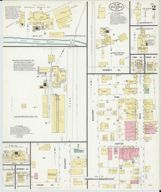
Sanborn Fire Insurance Map from Osceola, Mississippi County, Arkansas (1908) - Complete Map Set
Regular price $59.90 USDRegular priceUnit price per$59.90 USDSale price $59.90 USD -
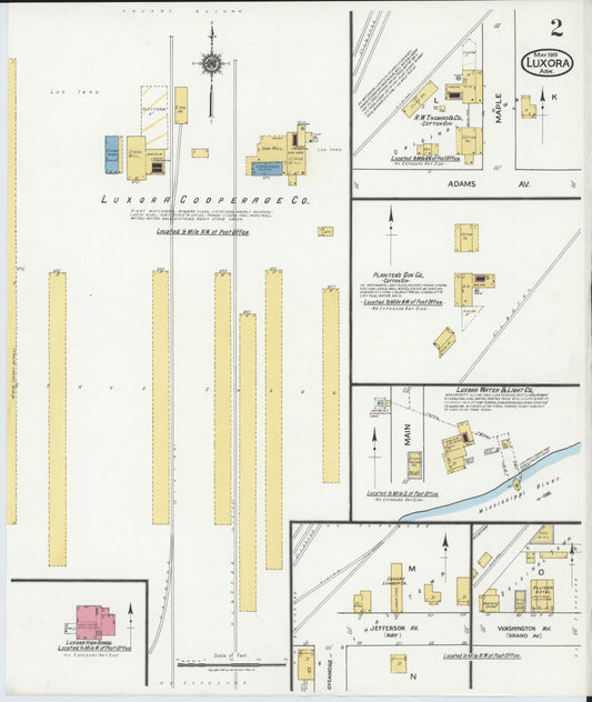
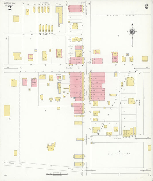
Sanborn Fire Insurance Map from Luxora, Mississippi County, Arkansas (1919) - Complete Map Set
Regular price $59.90 USDRegular priceUnit price per$59.90 USDSale price $59.90 USD -
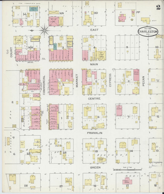
Sanborn Fire Insurance Map from Charleston, Mississippi County, Missouri (1886) - Complete Map Set
Regular price $59.90 USDRegular priceUnit price per$59.90 USDSale price $59.90 USD -

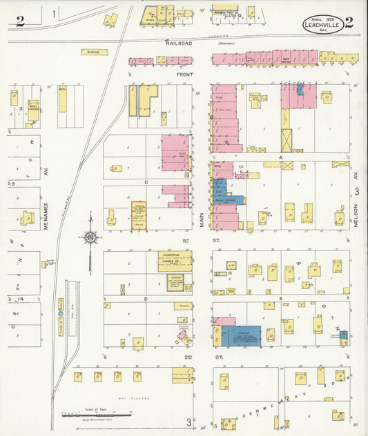
Sanborn Fire Insurance Map from Leachville, Mississippi County, Arkansas (1926) - Complete Map Set
Regular price $76.37 USDRegular priceUnit price per$89.85 USDSale price $76.37 USDSale -

Sanborn Fire Insurance Map from Charleston, Mississippi County, Missouri (1893) - Complete Map Set
Regular price $76.37 USDRegular priceUnit price per$89.85 USDSale price $76.37 USDSale -
Sanborn Fire Insurance Map from Luxora, Mississippi County, Arkansas (1939) - Complete Map Set
Regular price $101.83 USDRegular priceUnit price per$119.80 USDSale price $101.83 USDSale -

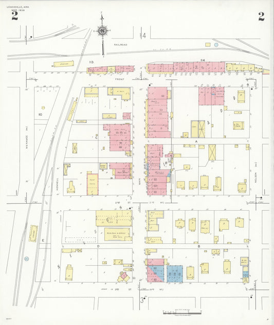
Sanborn Fire Insurance Map from Leachville, Mississippi County, Arkansas (1939) - Complete Map Set
Regular price $101.83 USDRegular priceUnit price per$119.80 USDSale price $101.83 USDSale -

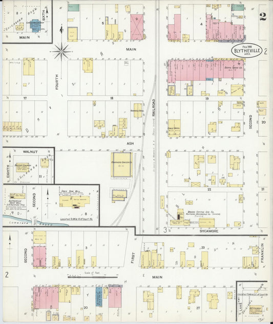
Sanborn Fire Insurance Map from Blytheville, Mississippi County, Arkansas (1908) - Complete Map Set
Regular price $101.83 USDRegular priceUnit price per$119.80 USDSale price $101.83 USDSale -

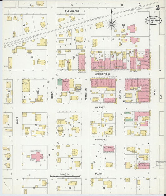
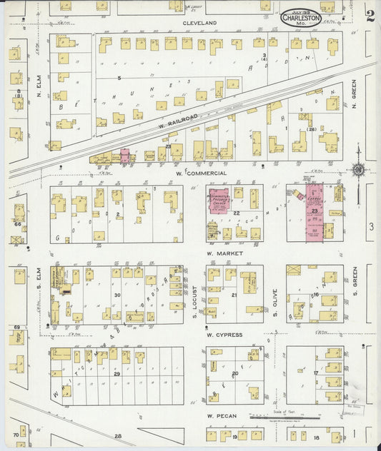
Sanborn Fire Insurance Map from Charleston, Mississippi County, Missouri (1900) - Complete Map Set
Regular price $101.83 USDRegular priceUnit price per$119.80 USDSale price $101.83 USDSale -

Sanborn Fire Insurance Map from Charleston, Mississippi County, Missouri (1919) - Complete Map Set
Regular price $127.29 USDRegular priceUnit price per$149.75 USDSale price $127.29 USDSale