-
Sanborn Fire Insurance Map from Flemington, Polk County, Missouri (1917), Sheet #0001
Regular price $29.95 USDRegular priceUnit price per$39.95 USDSale price $29.95 USDSale -
Sanborn Fire Insurance Map from Bevier, Macon County, Missouri (1917), Sheet #0001
Regular price $29.95 USDRegular priceUnit price per$39.95 USDSale price $29.95 USDSale -
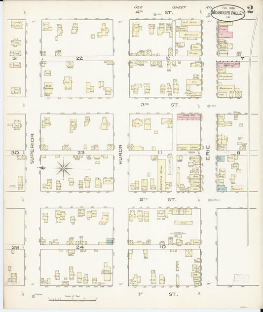
Sanborn Fire Insurance Map from Missouri Valley, Harrison County, Iowa (1886) - Complete Map Set
Regular price $59.90 USDRegular priceUnit price per$59.90 USDSale price $59.90 USD -

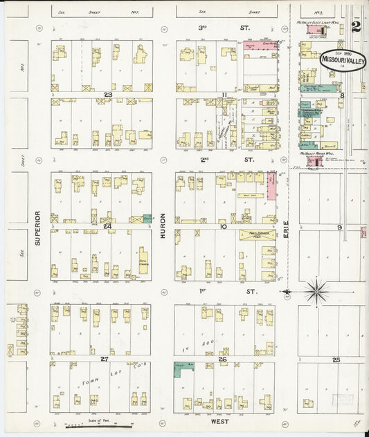
Sanborn Fire Insurance Map from Missouri Valley, Harrison County, Iowa (1890) - Complete Map Set
Regular price $101.83 USDRegular priceUnit price per$119.80 USDSale price $101.83 USDSale -

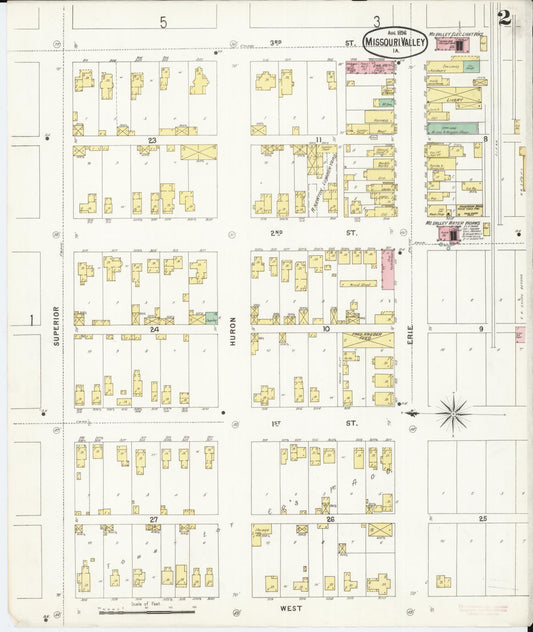
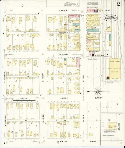
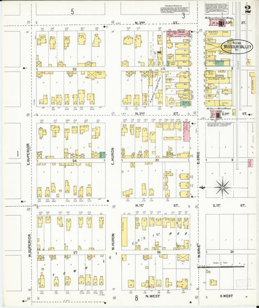
Sanborn Fire Insurance Map from Missouri Valley, Harrison County, Iowa (1896) - Complete Map Set
Regular price $127.29 USDRegular priceUnit price per$149.75 USDSale price $127.29 USDSale -

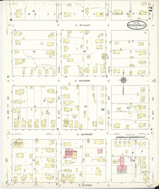
Sanborn Fire Insurance Map from Missouri Valley, Harrison County, Iowa (1913) - Complete Map Set
Regular price $203.66 USDRegular priceUnit price per$239.60 USDSale price $203.66 USDSale -

Sanborn Fire Insurance Map from Missouri Valley, Harrison County, Iowa (1908) - Complete Map Set
Regular price $203.66 USDRegular priceUnit price per$239.60 USDSale price $203.66 USDSale -

Sanborn Fire Insurance Map from Missouri Valley, Harrison County, Iowa (1901) - Complete Map Set
Regular price $203.66 USDRegular priceUnit price per$239.60 USDSale price $203.66 USDSale -
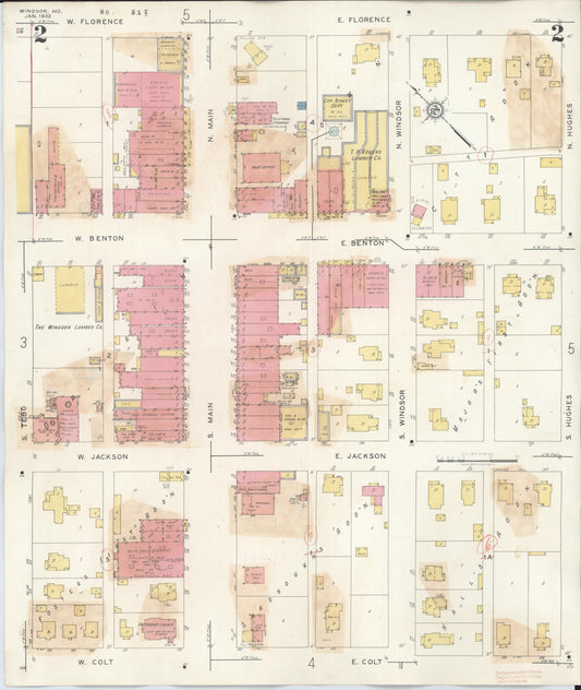
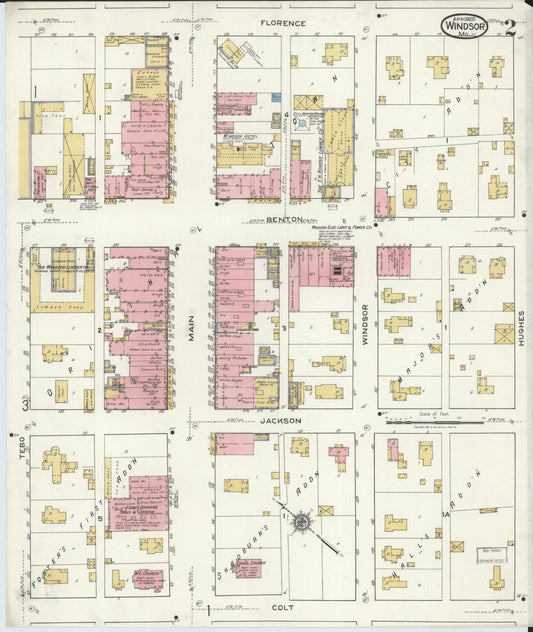
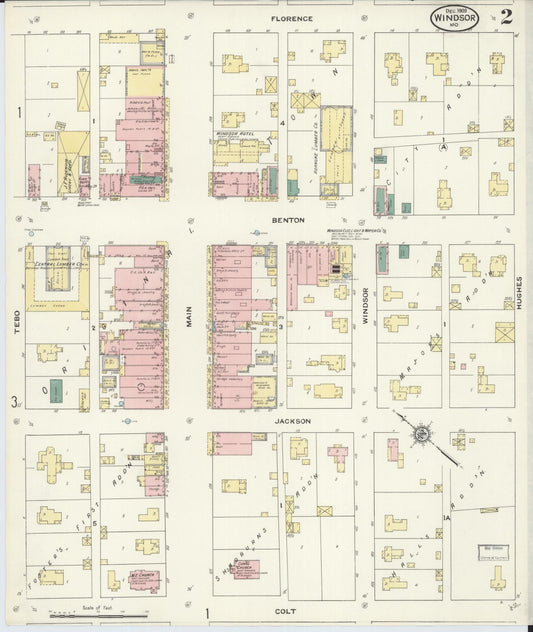
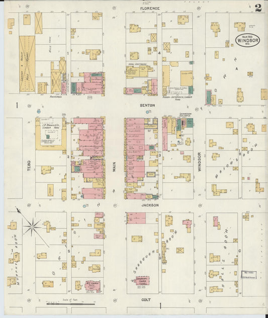
Sanborn Fire Insurance Map from Windsor, Henry County, Missouri (1943) - Complete Map Set
Regular price $127.29 USDRegular priceUnit price per$149.75 USDSale price $127.29 USDSale -
Sanborn Fire Insurance Map from Windsor, Henry County, Missouri (1920) - Complete Map Set
Regular price $76.37 USDRegular priceUnit price per$89.85 USDSale price $76.37 USDSale -
Sanborn Fire Insurance Map from Windsor, Henry County, Missouri (1909) - Complete Map Set
Regular price $76.37 USDRegular priceUnit price per$89.85 USDSale price $76.37 USDSale -
Sanborn Fire Insurance Map from Windsor, Henry County, Missouri (1902) - Complete Map Set
Regular price $59.90 USDRegular priceUnit price per$59.90 USDSale price $59.90 USD