-
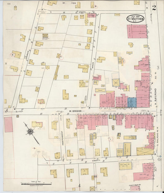
Sanborn Fire Insurance Map from Saint Matthews, Calhoun County, South Carolina (1909) - Complete Map Set
Regular price $59.90 USDRegular priceUnit price per$59.90 USDSale price $59.90 USD -
Sanborn Fire Insurance Map from Saint Matthews, Calhoun County, South Carolina (1904) - Complete Map Set
Regular price $59.90 USDRegular priceUnit price per$59.90 USDSale price $59.90 USD -
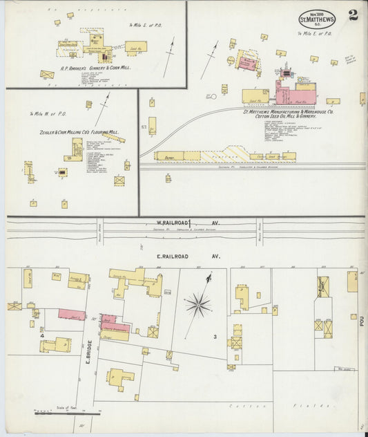
Sanborn Fire Insurance Map from Saint Matthews, Calhoun County, South Carolina (1899) - Complete Map Set
Regular price $59.90 USDRegular priceUnit price per$59.90 USDSale price $59.90 USD -
Sanborn Fire Insurance Map from McColl, Marlboro County, South Carolina (1900) - Complete Map Set
Regular price $59.90 USDRegular priceUnit price per$59.90 USDSale price $59.90 USD -

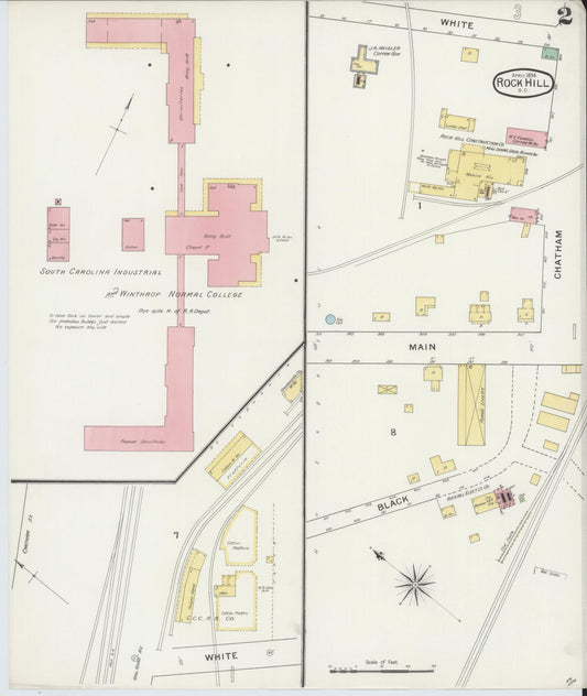
Sanborn Fire Insurance Map from Rock Hill, York County, South Carolina (1894) - Complete Map Set
Regular price $76.37 USDRegular priceUnit price per$89.85 USDSale price $76.37 USDSale -
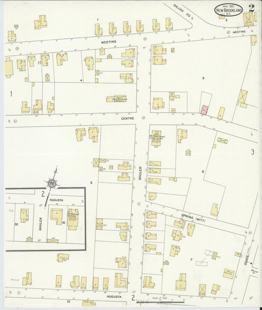
Sanborn Fire Insurance Map from New Brookland, Lexington County, South Carolina (1912) - Complete Map Set
Regular price $76.37 USDRegular priceUnit price per$89.85 USDSale price $76.37 USDSale -


Sanborn Fire Insurance Map from McColl, Marlboro County, South Carolina (1905) - Complete Map Set
Regular price $76.37 USDRegular priceUnit price per$89.85 USDSale price $76.37 USDSale -
![Sanborn Fire Insurance Map from York[ville], York County, South Carolina (1905), Sheet #0001 - Complete Map Set gallery image, historic Sanborn map, vintage wall art, South Carolina South Carolina](//hometownhistorymaps.com/cdn/shop/files/default_56f2ff7e-3db8-404b-a5c6-572e0cd52ed5.jpg?v=1763735564&width=533)

Sanborn Fire Insurance Map from York[ville], York County, South Carolina (1905) - Complete Map Set
Regular price $76.37 USDRegular priceUnit price per$89.85 USDSale price $76.37 USDSale -
![Sanborn Fire Insurance Map from York[ville], York County, South Carolina (1900), Sheet #0001 - Complete Map Set gallery image, historic Sanborn map, vintage wall art, South Carolina South Carolina](//hometownhistorymaps.com/cdn/shop/files/default_85e5975c-e887-4d81-bf19-0e3e0ea99647.jpg?v=1763735561&width=533)

Sanborn Fire Insurance Map from York[ville], York County, South Carolina (1900) - Complete Map Set
Regular price $76.37 USDRegular priceUnit price per$89.85 USDSale price $76.37 USDSale -
Sanborn Fire Insurance Map from Saint Matthews, Calhoun County, South Carolina (1935) - Complete Map Set
Regular price $101.83 USDRegular priceUnit price per$119.80 USDSale price $101.83 USDSale -
Sanborn Fire Insurance Map from Ninety Six, Greenwood County, South Carolina (1934) - Complete Map Set
Regular price $101.83 USDRegular priceUnit price per$119.80 USDSale price $101.83 USDSale -
Sanborn Fire Insurance Map from Ninety Six, Greenwood County, South Carolina (1925) - Complete Map Set
Regular price $101.83 USDRegular priceUnit price per$119.80 USDSale price $101.83 USDSale


![Sanborn Fire Insurance Map from York[ville], York County, South Carolina (1905), Sheet #0001 - Complete Map Set gallery image, historic Sanborn map, vintage wall art, South Carolina South Carolina](http://hometownhistorymaps.com/cdn/shop/files/default_56f2ff7e-3db8-404b-a5c6-572e0cd52ed5.jpg?v=1763735564&width=533)

![Sanborn Fire Insurance Map from York[ville], York County, South Carolina (1900), Sheet #0001 - Complete Map Set gallery image, historic Sanborn map, vintage wall art, South Carolina South Carolina](http://hometownhistorymaps.com/cdn/shop/files/default_85e5975c-e887-4d81-bf19-0e3e0ea99647.jpg?v=1763735561&width=533)