-

Sanborn Fire Insurance Map from Harrisonburg, Independent Cities, Virginia (1897) - Complete Map Set
Regular price $127.29 USDRegular priceUnit price per$149.75 USDSale price $127.29 USDSale -
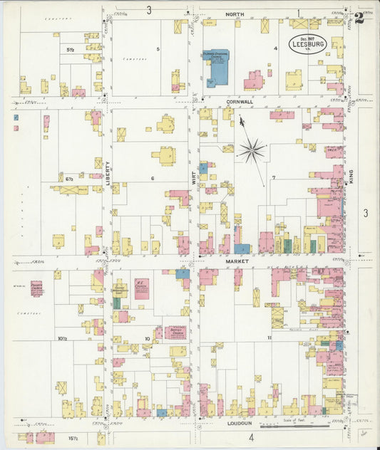
Sanborn Fire Insurance Map from Leesburg, Loudoun County, Virginia (1907) - Complete Map Set
Regular price $127.29 USDRegular priceUnit price per$149.75 USDSale price $127.29 USDSale -
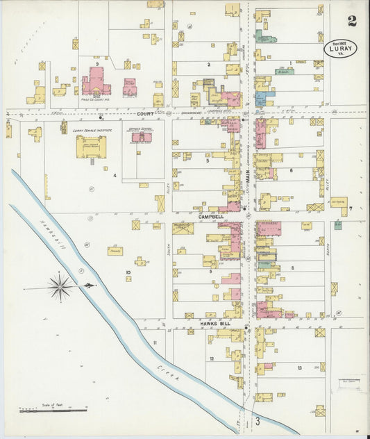
Sanborn Fire Insurance Map from Luray, Page County, Virginia (1902) - Complete Map Set
Regular price $127.29 USDRegular priceUnit price per$149.75 USDSale price $127.29 USDSale -
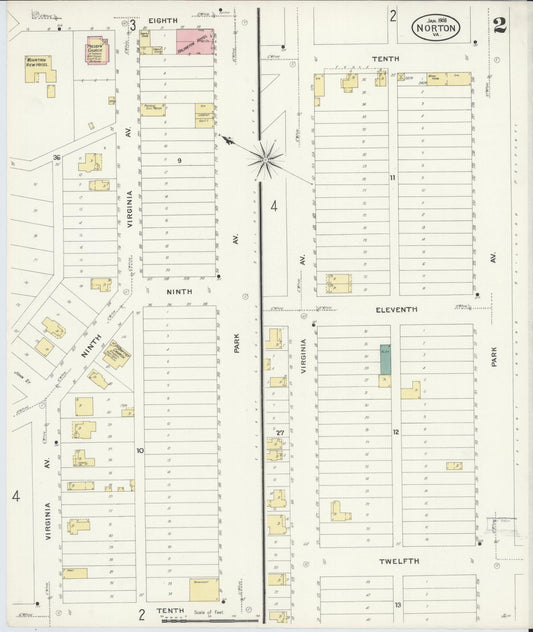
Sanborn Fire Insurance Map from Norton, Independent Cities, Virginia (1908) - Complete Map Set
Regular price $127.29 USDRegular priceUnit price per$149.75 USDSale price $127.29 USDSale -
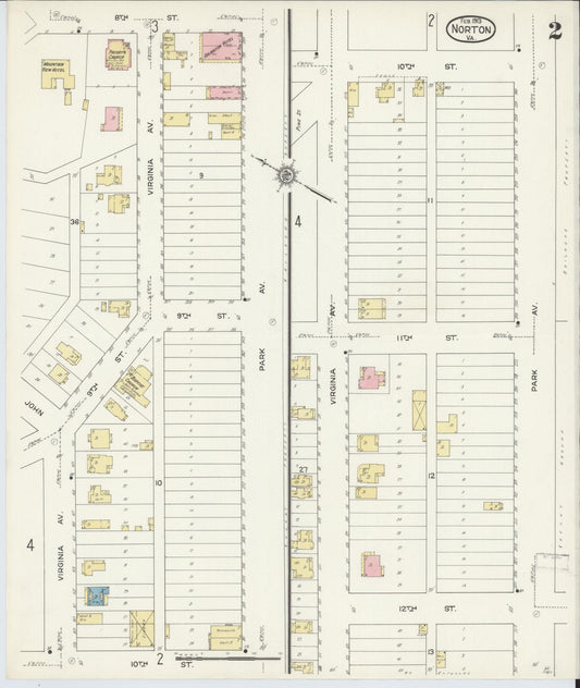
Sanborn Fire Insurance Map from Norton, Independent Cities, Virginia (1913) - Complete Map Set
Regular price $127.29 USDRegular priceUnit price per$149.75 USDSale price $127.29 USDSale -
Sanborn Fire Insurance Map from Onancock, Accomack County, Virginia (1912) - Complete Map Set
Regular price $127.29 USDRegular priceUnit price per$149.75 USDSale price $127.29 USDSale -
Sanborn Fire Insurance Map from Orange, Orange County, Virginia (1925) - Complete Map Set
Regular price $127.29 USDRegular priceUnit price per$149.75 USDSale price $127.29 USDSale -

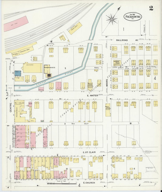
Sanborn Fire Insurance Map from Pocahontas, Tazewell County, Virginia (1908) - Complete Map Set
Regular price $127.29 USDRegular priceUnit price per$149.75 USDSale price $127.29 USDSale -

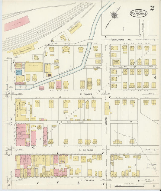
Sanborn Fire Insurance Map from Pocahontas, Tazewell County, Virginia (1913) - Complete Map Set
Regular price $127.29 USDRegular priceUnit price per$149.75 USDSale price $127.29 USDSale -
Sanborn Fire Insurance Map from Christiansburg, Montgomery County, Virginia (1913) - Complete Map Set
Regular price $101.83 USDRegular priceUnit price per$119.80 USDSale price $101.83 USDSale -

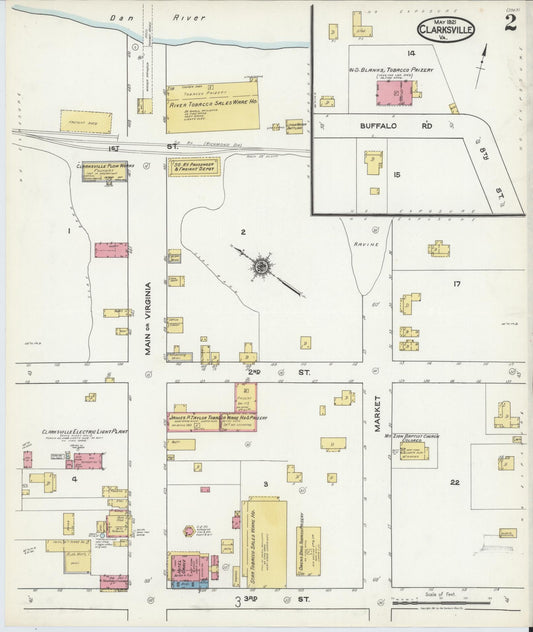
Sanborn Fire Insurance Map from Clarksville, Mecklenburg County, Virginia (1921) - Complete Map Set
Regular price $76.37 USDRegular priceUnit price per$89.85 USDSale price $76.37 USDSale -
Sanborn Fire Insurance Map from Berryville, Clark County, Virginia (1921) - Complete Map Set
Regular price $76.37 USDRegular priceUnit price per$89.85 USDSale price $76.37 USDSale