


Magnetic Wooden Map Frame — Ready-to-Hang Upgrade
Magnetic Wooden Map Frame — Ready-to-Hang Upgrade
Couldn't load pickup availability
✅ Printed & shipped from Iowa, USA
📦 Ships same or next business day
🚚 Free USPS Economy shipping
⚡️ UPS Ground available for faster delivery
🖨️ Each map is printed on demand — never mass produced
Magnetic Wooden Map Frame — Ready-to-Hang Upgrade
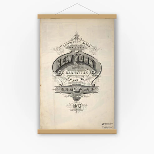
Ready-to-hang upgrade for your map.
A simple upgrade designed to pair perfectly with your Hometown History Map.
Hometown History Maps
Customers are saying
Turn your map into a finished piece of wall art — in seconds.
Our magnetic wooden hanger is designed to pair perfectly with your Hometown History Map, creating a clean, ready-to-hang display without the need for traditional framing.
Designed specifically for our 24" x 30" map prints, this hanger works seamlessly with our layout—gripping securely along the 1" top and bottom borders for a balanced, polished look.
✔ Perfect fit for our 24" x 30" map prints
✔ Designed for maps with 1" top and bottom borders
✔ No tools or assembly required
✔ No damage to your map
✔ Minimal, modern design
✔ Natural wood finish or Black Finish options available
✔ Premium 4-bar design (top & bottom) — unlike cheaper hangers that only grip from one side
Simply place your map between the magnetic bars, hang it up, and enjoy.
🎁 Make your gift complete
Your map and hanger ship together in the same tube, making it easy to give a meaningful, ready-to-hang piece of hometown history—no extra framing, wrapping, or effort required.
Note: This hanger is designed for vertical map prints (24" x 30") and works best with our standard map layout. It is not recommended for bird’s-eye view maps or horizontal prints.
👉 Add this upgrade to your order and your map arrives ready to hang the moment it’s delivered.
All Sanborn map prints are produced at 24" × 30". The printed map area measures 24" × 28", leaving a 1" margin at the top and bottom for easy framing and alignment.
🖼️ Other Map Styles
Bird’s-eye views, panoramic, military, railroad and illustrated city maps are printed at 24" × 36" (unless otherwise noted in product description) and centered with white borders to preserve the original proportions.
📜 Historical Reproduction
These are high-resolution scans of original maps—often over 100 years old. You may notice fold lines, stamps, or light imperfections that reflect the map’s authentic history.
📦 Shipping
Each map is carefully rolled and shipped in a 24" heavy-duty tube to ensure safe delivery.
🗺️ Map Details
These reprints are created from Library of Congress materials. Some sets may not include every sheet due to source limitations. Please review the preview images carefully — what you see is exactly what you’ll receive.
Share


Customers are saying
Loved it!